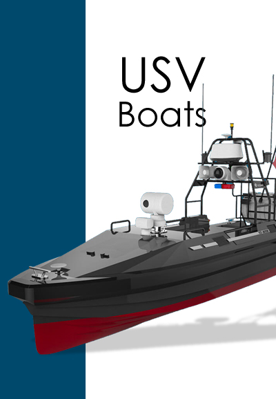
Request for Quotation
Autonomous survey platform ME40 is designed for hydrographic survey with great efficiency.
By replacing conventional workboat, autonomous platform is able to acquire bathymetry data without time-consuming and human safety risk.
Mission planning, navigation control and real-time data acquisition are integrated in one package software, offering maximum efficiency to surveyors.
- Mission planning and autonomous survey
- Existing GNSS instrument can be installed
- Data acquisition integrated in USV software
- Customized option for other instruments
- Maximum 5m/s speed
- Excellent performance in shallow water
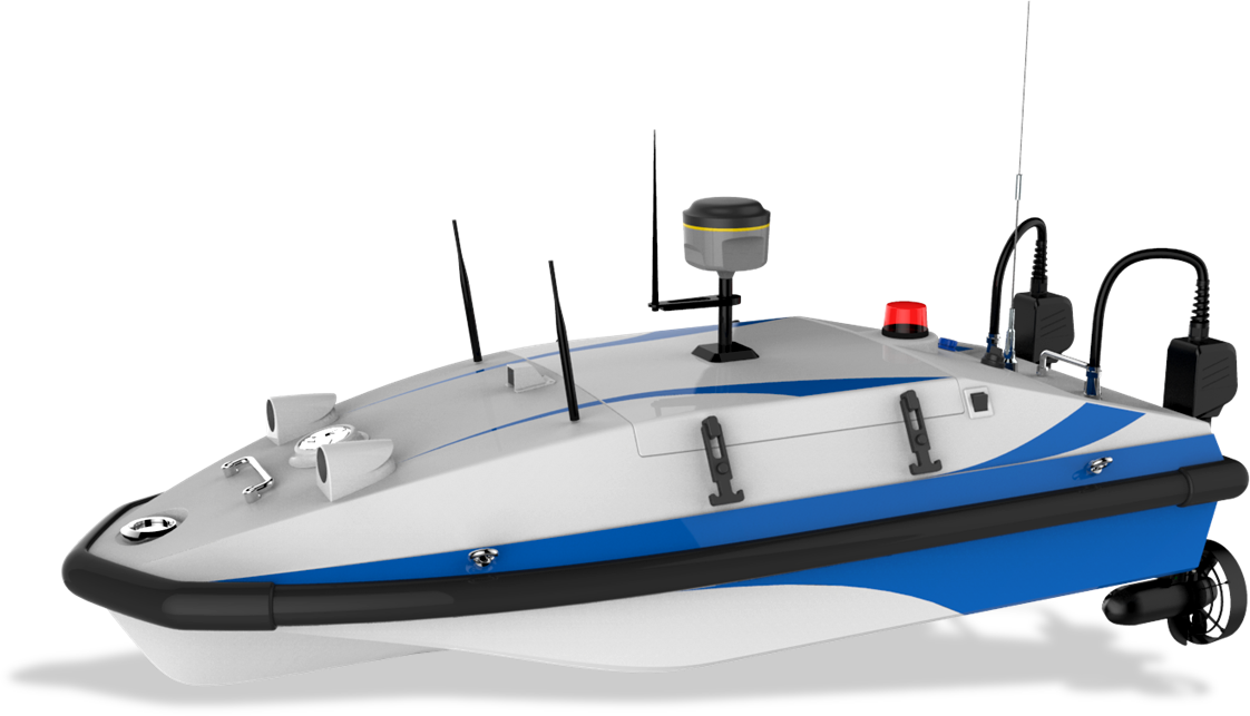
Specifications
Dimensions 1630*710*370 mm
Weight 33 kg
Obstacle Avoidance 10 m
Material Fiberglass composite with Kevlar & Carbon fiber
Communication RF point to point bidirectional communication
Communication Range Remote control 1km
Data Telemetry 2km
Maximum Speed 5m/s
Endurance 4 hours @ 1.5 m/s
Payload 15 kg